Monday, August 27, 2012

Jebudo Island

If you have heard of the story of Moses from the Bible where the sea parts and makes path for Moses to walk, you will witness something similar in Jebu islands! Jebudo island is a small island that floats in the open seas by Seosin-myeon of Hwaseong in Gyeonggi-do. Jebudo Island exposes the seaway twice a day. In low tide, the seawater loses about 4-5m of water and exposes the 3km-long cement-paved path that is usually submerged underwater. The path to the island is through a narrow cement road and the either sides has plenty of clay type of sand, where one could easily sink due to the loose soil. This part of the land is submerged most of the day and when it is low tide you can view the surface of the sea and see the unevenness . Jebudo doesn't have a sandy sea shore, mostly grainy pebbles and plenty of clams, tiny crabs, mussels along the shore. The local population get little buckets to grab as many of these creatures. The Jebudo wharf is very close by to the island has tens of personal yachts, and some fishing boats. The wharf should take roughly 30 mins to cover. Visit the island at appropriate timings to view the parting of the sea. Everything seems just normal and suddenly the sea seems to give way. The crowd throng near the shores to catch the glimpse of the parting sea and to walk along the cement path way to reach one of the smaller islands. You should also cover the Jebudo light house and the wooden pathway which leads to the beach. The view from the wooden pathway is wonderful, it lies in between sharp jagged rocks and sea shore. The wooden bridge finally leads to the beach. The view of the sunset is marvellous. The hue of the greyish blue waters and the orange rays of the sun set a fantastic backdrop. If you can stay over night, the fun is doubled! I must thank the New Suwon India guest house folks for planning this fantastic trip for the SISOites!

For more information read : Jebudo Island

Verdict
  • Ease of transportation: 3/5
  • Value for money: 5/5
  • Recommended group size: 6 or more


Some pictures below.

Sunday, August 26, 2012

Namsan Seoul Tower

The Namsan Seoul tower is the tallest tower in whole of South Korea. It ranks in the top 10 highest towers in the world. Unlike most towers, this one is built on the top of a mountain (Namsan mountain) which gives it further elevation. Built in 1969, and at a cost of approximately $2.5 million, it was opened to the public in 1980. Since then, the tower has been a landmark of Seoul and measures 236.7 m (777 ft) in height (from the base) and tops out at 479.7 m (1,574 ft) above sea level.[source wikipedia]. There are subway trains available which takes you close to the tower. There are also many buses which ferry tourists from fixed locations to the Seoul Tower and drop them back. The view is panoramic from the top of the tower and Seoul's city lights seem like a glittering diamonds strewn around. The view of the tower at night is scintillating, with the stupendous lighting effect. The tower offers tickets at dual prices, one for the observatory and the other which combines a teddy bear museum. There are numerous restaurants in the tower including a rotating one. You can also take a cable car and enjoy the ride to the Seoul tower. Insadong aka cultural street, another well known tourist attraction lies close to the Seoul tower and can be be visited if planned well.

For more information read : N Seoul Tower

Verdict
  • Ease of transportation: 3/5
  • Value for money: 4/5
  • Recommended group size: 4 or more


Some pictures below.

Saturday, August 25, 2012

Mt Gwanggyosan

Gwanggyosan (582 m) is a small mountain in Gyeonggi Province, South Korea. It lies on the border of Suwon and Yongin, though the wider range extends north and so also borders Uiwang, Gwacheon, Seoul and Seongnam. The summit offers views across Suwon, Yongin and Bundang. The mountain is commonly hiked from Gwanggyo Reservoir in Suwon. [Source from Wikipedia].

Gwanggyosan is the closest mountain to Suwon, to fulfill your hiking ambitions. You can get buses from Suwon station to the base of Gwanggyosan mountain. The summit time from the base is around 3 hours, can be faster if you are an experienced hiker. The way to the mountain is also very picturesque, with meadows , streams and glimpses of huts. The top of the mountain offer breath taking views of the surrounding Yongin, Suwon cities. The elevation is around constant 20-35 degrees and makes for a good climb. There are some risky corners, jagged rocks but it is well worth the climb. Plenty of Koreans hikers climb every week, and if you wish to you can team up some random hikers always. The sure footedness of these Korean hikers amazes me, even at a elevation of 60 degrees they are able to climb easily without any external support. 
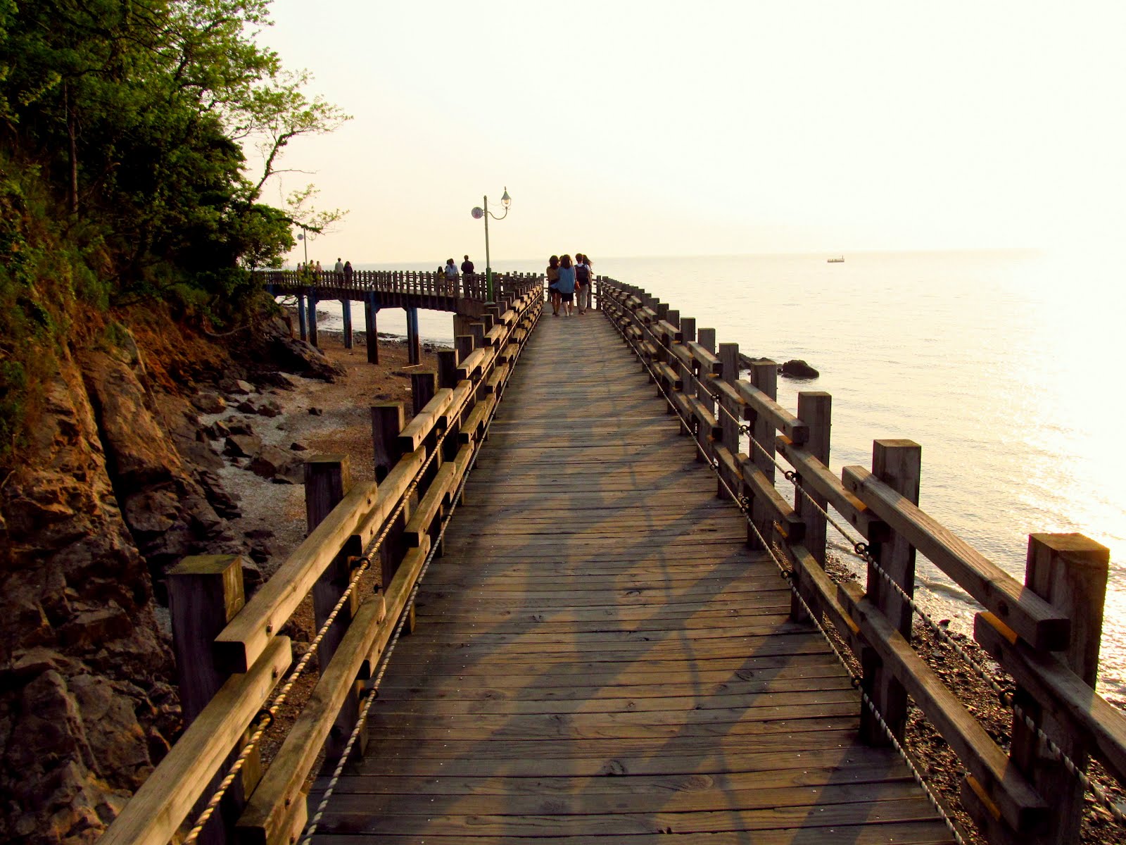
There are three hiking routes as per the official website and my friend and I took the longest hiking route and it truly tired us out!, dress light and always carry enough water to keep you hydrated throughout the way. In between the hikes, you may encounters tombs and sudden path leading to no where which makes the hike more exotic! If your lucky you will also run into into cream sellers, buy one and relax, watching the scenery. Spring time is the best and avoid rainy times at all costs as the path is very slippery in some places. After all your hardwork, you will be rewarded with a poster card picture perfect view of the Gwanggyosan reservoir. Time suddenly comes to a standstill. Savour the beautiful view and move ahead. An approximate walk of 20 mins will bring you back to the main road.
/
For more information read : Mt Gwanggyosan

Verdict
  • Ease of transportation: 3/5
  • Value for money: 4/5
  • Recommended group size: 4 or more


Some pictures below: